|
 |
|||||||||||||||||||||||||||||||||||||||||||||||||||||||||||||||||||||||||||||||||||||||||||||||||||||||||||||||||||||||||||||||||||||||||||||||||||||||||||||||||||||||||||||||||||||||||||||||||
|
||||||||||||||||||||||||||||||||||||||||||||||||||||||||||||||||||||||||||||||||||||||||||||||||||||||||||||||||||||||||||||||||||||||||||||||||||||||||||||||||||||||||||||||||||||||||||||||||||
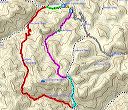
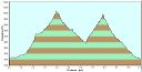
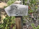
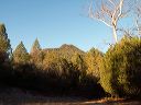
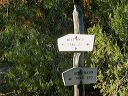
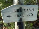
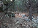
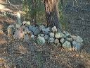
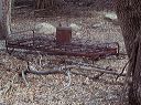
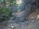
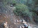
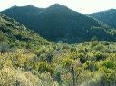
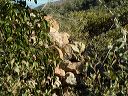
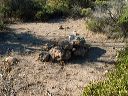
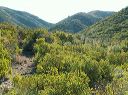
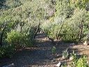
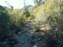
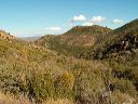
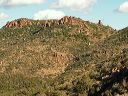
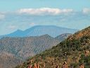
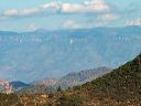
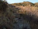
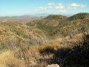
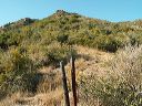
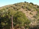
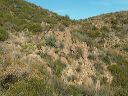
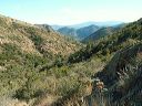
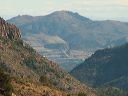
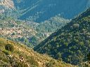
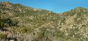
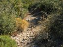
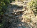
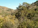
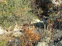
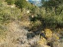
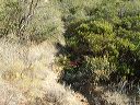
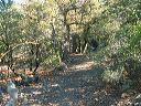
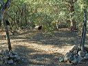
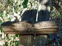
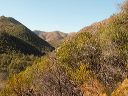
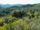
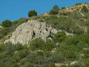
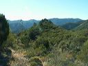
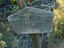
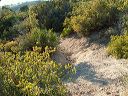
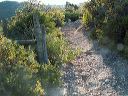
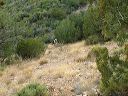
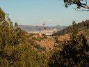
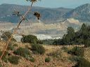
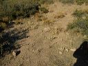
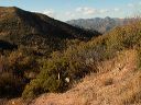
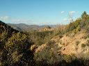
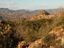
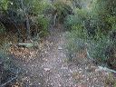
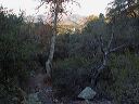
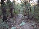
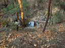
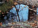
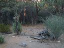
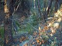
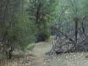
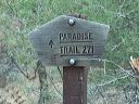
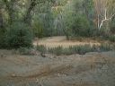
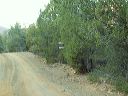
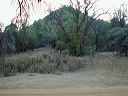
| The Bull Basin Trail and Paradise Trail loop hike in the Superstition Wilderness focuses on the Bull Basin Trail. The Paradise segment is just the easiest way back to the starting point. If your interest is the Paradise Trail, the Paradise Haunted Canyon loop is the better choice since the Bull Basin trail is a rugged rarely traveled route with sections that are overgrown and hard to follow. The southern half of the Bull Basin Trail is not where it's shown on most topo and GPS maps. Download the tracks for your GPS and carry a copy of the Beartooth Superstition map I started from the Miles Trailhead at the end of FR-287A, west on the West Pinto Trail, south then east on the Bull Basin Trail, north on the Haunted Canyon Trail, north on the Paradise Trail, and a 0.4 mile walk along the road back to the Miles Trailhead. The hike was 11.0 miles and took 8 hours. The starting/ending elevation is 3441 feet with a high of 5064. There's an interior dip to 4000 feet. Parts of the trial are overgrown on the east/west section below the saddle but fortunately most of the vegetation isn't catclaw. Carry a small saw or trimmers with you to help keep this trail open. |
||||||||||||||||||||||||||||||||||||||||||||||||||||||||||||||||||||||||||||||||||||||||||||||||||||||||||||||||||||||||||||||||||||||||||||||||||||||||||||||||||||||||||||||||||||||||||||||||||
 |
 |
|||||||||||||||||||||||||||||||||||||||||||||||||||||||||||||||||||||||||||||||||||||||||||||||||||||||||||||||||||||||||||||||||||||||||||||||||||||||||||||||||||||||||||||||||||||||||||||||||
|
Click a thumbnail to see the full size image. Then use the Previous and Next thumbnails to
directly move among the full size images without having to return to this page each time. |
||||||||||||||||||||||||||||||||||||||||||||||||||||||||||||||||||||||||||||||||||||||||||||||||||||||||||||||||||||||||||||||||||||||||||||||||||||||||||||||||||||||||||||||||||||||||||||||||||