12 of 134
Previous
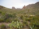
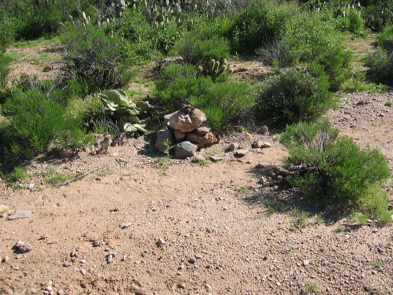
Coffee Flat - Whiskey Springs - Red Tanks trails loop:
Cairn at the junction of the Coffee Flat trail and the path from Whitlow Tank.
N 33.39397 W 111°29388
Next
Location:
• Latitude: N 033° 23' 39.00"
• Longitude: W 111° 17' 39.45"
• Altitude: 761.00m
Date:
3/12/05 10:03:06 AM
W x H:
2272 x 1704
Albums:
Randolph Canyon, Coffee Flat - Whiskey Springs - Red Tanks trails loop