16 of 134
Previous
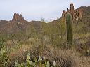
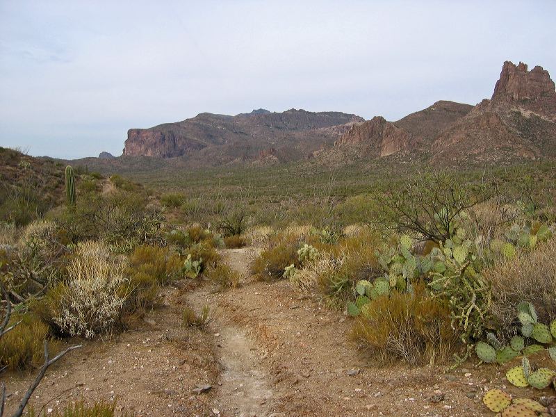
Coffee Flat - Whiskey Springs - Red Tanks trails loop:
Superstition Mountain at center and Miner's Needle at right.
Next
Location:
• Latitude: N 033° 24' 00.09"
• Longitude: W 111° 18' 25.11"
• Altitude: 802.00m
Date:
3/4/06 9:11:46 AM
W x H:
2272 x 1704
Albums:
Coffee Flat - Whiskey Springs - Red Tanks trails loop