|
 |
 |
|
|
|
 |
|
 |
|
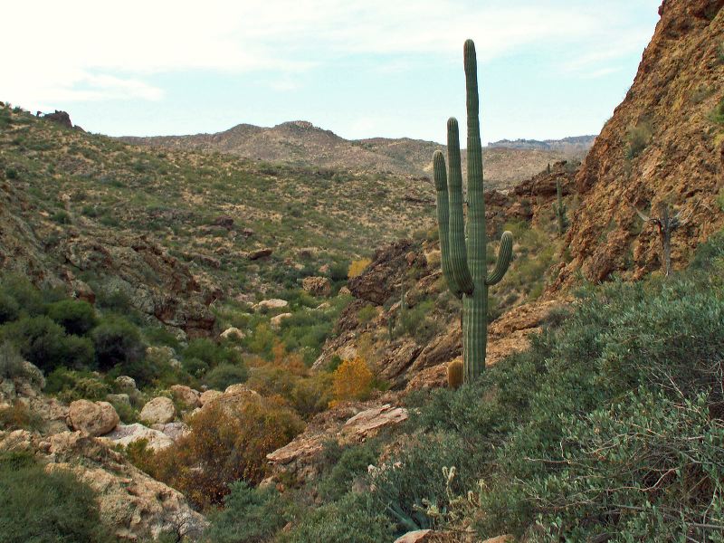
| Location: |
| • Latitude: N 033° 25' 55.11" |
• Longitude: W 111° 18' 07.88" |
• Altitude: 882.00m |
|
| Date: |
11/26/05 10:12:58 AM |
| W x H: |
2256 x 1692 |
| Albums: |
Peters - Hoolie Bacon, Red Tanks Trail, Coffee Flat - Whiskey Springs - Red Tanks trails loop, Herman's Cave |
|
|
|
|