|
 |
|||||||||||||||||||||||||||||||||||||||||||||||||||||||||||||||||||||||||||||||||||||||||||||||||||||||||||||||||||||||||||||||||||||||||||||||||||||||||||||||||||||||||||||||||||||||||||||
|
||||||||||||||||||||||||||||||||||||||||||||||||||||||||||||||||||||||||||||||||||||||||||||||||||||||||||||||||||||||||||||||||||||||||||||||||||||||||||||||||||||||||||||||||||||||||||||||
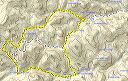
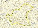
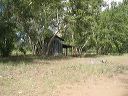
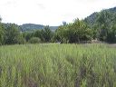
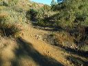
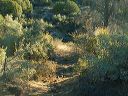
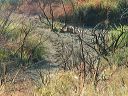
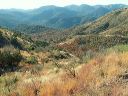
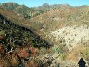
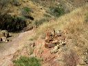
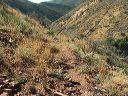
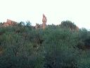
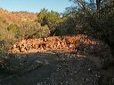
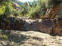
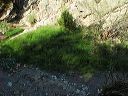
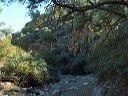
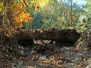
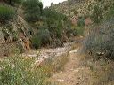
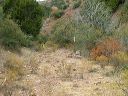
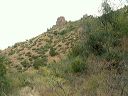
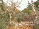
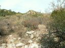
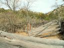
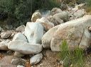
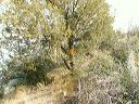
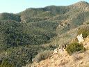
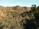
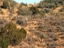
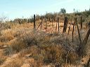
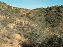
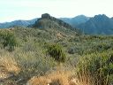
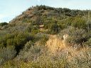
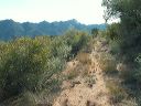
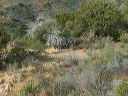
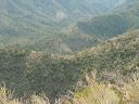
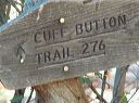
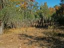
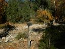
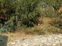
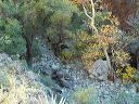
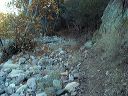
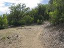
| This loop avoids the difficulty of getting to the Horrel Ranch trailhead east of Burro Spring in the Superstition Wilderness. The hike uses the Kennedy/Miles Ranch trailhead. It 's possible to avoid HEAVY bushwhacking if you can manage to stay on trail, although sections are overgrown. If you get off-trail, you'll get into heavy brush and catclaw thickets. Long sleeves and pants are required in the best of circumstances. Take a pocket saw and/or rose bush trimmers to help keep the trail open. If you're hiking as a group, stay 10-20 feet apart so that if the leader loses the trail, they can backtrack to known trail and more carefully proceed.
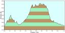
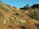
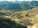
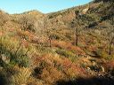
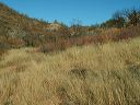
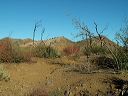
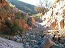
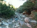
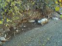
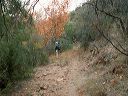
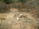
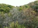
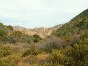
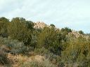
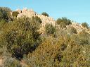
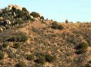
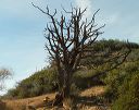
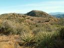
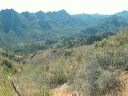
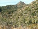
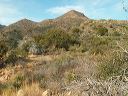
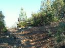
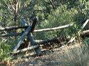
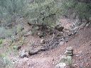
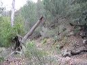
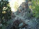
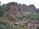
The loop picks up all of the official trail except for a small section east of Burro Spring. The section north out of the Miles Trailhead is an unofficial route that is kept open by horsemen. I strongly suggest using a GPS for this hike so that if you lose the trail you'll know that you're fighting brush in the right direction. It only takes one bush growing into the trail at a turn to get you off track. The first leg can be hard to follow if there hasn't been recent horse traffic--it's easier to follow hoof prints than a GPS. This hike is a route-finding challenge due to brush overgrowing the route. You'll get catclaw scratches on your legs, arms, and face deep enough to draw blood and stain your clothes. If you get lost or hurt, it could be months before anyone else uses this trail so please don't hike it alone and inform others of your plans. It gets cold out here--I've had water freeze in my Camelback tube while hiking. The starting and ending elevation is 3400 feet with a high of 4650 feet. It's 11.4 miles and takes about 7 hours if you manage to stay on trail. A friend got off trail in a couple of places and it took him 9.5 hours for 14 miles. Don't do this hike by yourself, start early, and be prepared in case you don't get out by dark. It gets below freezing out here during the winter--I've had water freeze in my Camelback tube while day hiking. |
||||||||||||||||||||||||||||||||||||||||||||||||||||||||||||||||||||||||||||||||||||||||||||||||||||||||||||||||||||||||||||||||||||||||||||||||||||||||||||||||||||||||||||||||||||||||||||||
 |
 |
|||||||||||||||||||||||||||||||||||||||||||||||||||||||||||||||||||||||||||||||||||||||||||||||||||||||||||||||||||||||||||||||||||||||||||||||||||||||||||||||||||||||||||||||||||||||||||||
|
Click a thumbnail to see the full size image. Then use the Previous and Next thumbnails to
directly move among the full size images without having to return to this page each time. |
||||||||||||||||||||||||||||||||||||||||||||||||||||||||||||||||||||||||||||||||||||||||||||||||||||||||||||||||||||||||||||||||||||||||||||||||||||||||||||||||||||||||||||||||||||||||||||||