|
 |
|||||||||||||||||||||||||||||||||||||||||||||||||||||||||||||||||||||||||||||||||||||||||||||||||||||||||||||||||||||||||||||||||||||||||||||||
|
||||||||||||||||||||||||||||||||||||||||||||||||||||||||||||||||||||||||||||||||||||||||||||||||||||||||||||||||||||||||||||||||||||||||||||||||
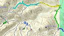
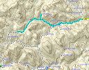
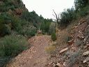
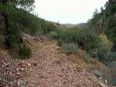
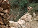
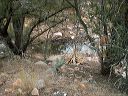
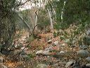
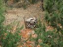
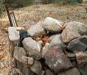
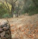
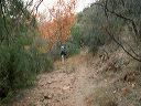
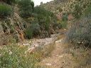
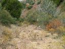
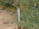
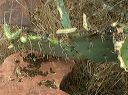
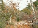
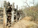
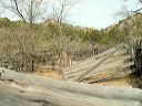
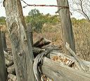
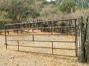
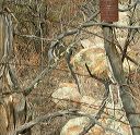
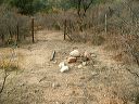
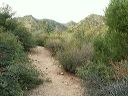
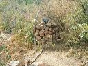
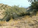
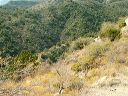
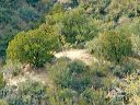
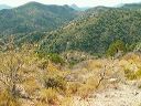
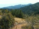
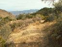
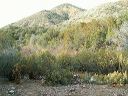
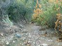
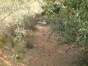
| The northeastern end of the Cuff Button Trail in the Superstition Wilderness is reachable only with 4WD. (See Cuff Button Trailhead.) This hike was in-out on the northern segment of the trail. This trail is rarely traveled (don't try it alone) and brush including catclaw is growing into the trail (see photo 68). The section west of the corral near Cuff Button Spring has especially thick brush that hides the trail--especially at turns. Keep the group spread 10-20 feet apart so that when the leader loses the trail, they can return and do a spiral search from the last known spot on-trail. This is a hike that requires long sleeves and pants and you'll still end up with scratches deep enough to bleed and stain your clothes. Take a small saw and clippers with you to help keep this trail open.
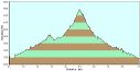
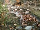
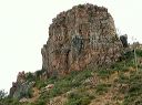
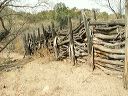
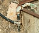
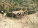
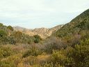
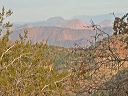
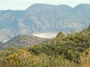
We went in 4.6 miles to a high saddle (4540 feet) overlooking the Sycamore Spring area. The round trip was 9.2 miles and took 7 hours. That includes an unsuccesful side trip north to the map location for Cuff Button Spring. (If you want to look for the spring, I'd suggest following the plastic pipe north from the nearby corral--it seemed to head west of where we looked.) The starting elevation was 3200 feet with the high at 4540 feet. |
||||||||||||||||||||||||||||||||||||||||||||||||||||||||||||||||||||||||||||||||||||||||||||||||||||||||||||||||||||||||||||||||||||||||||||||||
 |
 |
|||||||||||||||||||||||||||||||||||||||||||||||||||||||||||||||||||||||||||||||||||||||||||||||||||||||||||||||||||||||||||||||||||||||||||||||
|
Click a thumbnail to see the full size image. Then use the Previous and Next thumbnails to
directly move among the full size images without having to return to this page each time. |
||||||||||||||||||||||||||||||||||||||||||||||||||||||||||||||||||||||||||||||||||||||||||||||||||||||||||||||||||||||||||||||||||||||||||||||||