|
 |
|||||||||||||||||||||||||||||||||||||||||||||||||||||||||||||||||||||||||||||||||||||||||||||||||||||||||||||||||||||||||||||||||||||||||||||||||||||||||||||||
|
||||||||||||||||||||||||||||||||||||||||||||||||||||||||||||||||||||||||||||||||||||||||||||||||||||||||||||||||||||||||||||||||||||||||||||||||||||||||||||||||
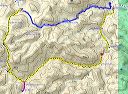
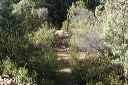
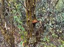
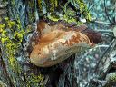
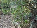
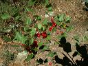
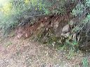
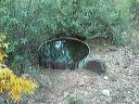
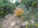
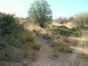
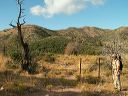
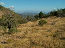
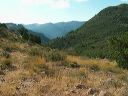
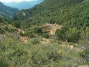
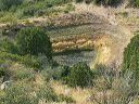
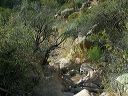
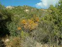
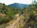
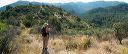
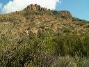
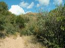
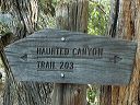
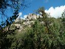
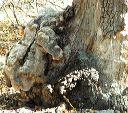
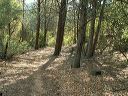
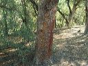
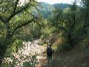
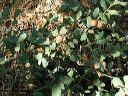
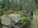
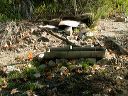
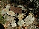
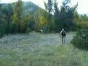
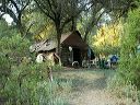
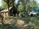
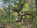
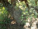
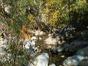
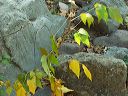
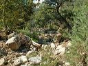
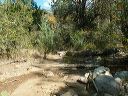
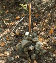
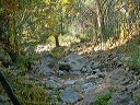
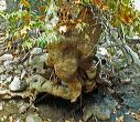
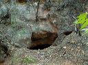
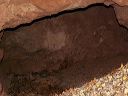
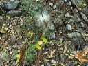
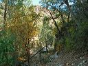
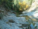
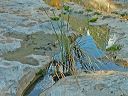
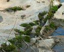
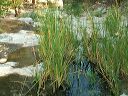
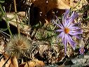
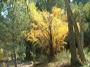
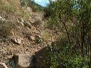
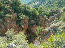
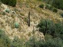
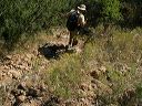
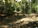
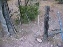
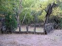
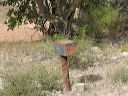
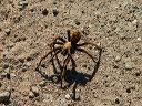
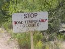
| The Haunted Canyon Trail is in the eastern Superstion Wilderness near the BP Pinto Valley Mine east of Superior, Arizona. More than half the trail is outside the wilderness area but that's the most scenic half. This is a popular backpacking route with an overnight stay at Tony Ranch Cabin. We made this hike as a shuttle hike leaving a vehicle at each trailhead. We started at the northwestern end of the Haunted Canyon trail, went south to Tony Ranch, hiked east in Haunted Canyon, and then north along a closed mine road to the southeastern end of the trail. Without the car shuttle, the hike would have been 4.2 miles longer with an 800 foot climb on FR-287a. If you can't arrange a car shuttle, I'd suggest doing this as an in/out hike from one of the trailheads. The hike was 10 miles with a starting elevation of 4053 feet, the high point was 4898 feet and the ending point was 3144 feet. The 850 foot climb is near the start so the balance of the hike was mostly downhill. The drive to the trailheads via FR-287 and FR-287A can be confusing since it's through an active copper mine. See my photos and description of reaching the Haunted Canyon trailheads. Tony Cabin is not on the Haunted Canyon Trail but 0.3 miles south. The route to Tony Cabin is unsigned but there are multiple faint paths paralleling the creekbed in that direction. There's a reliable spring: Tony Ranch Spring, about 0.1 miles south of the Haunted Canyon trail. This is bear country so keep food out of and away from tents. Hiking through the Haunted Canyon portion can be slow and treacherous during the fall because of sycamore leaves. The leaves hide the rocks and are slippery and make it harder to find cairns. Be aware of rain in the area. Heavy rain can make the multiple creek crossings dangerous and there's the possiblity of a flash flood. On March 13, 2006 a group of Boy Scouts were snowed in Haunted Canyon by 3 feet of snow. They were rescued by Superstition Search and Rescue. |
||||||||||||||||||||||||||||||||||||||||||||||||||||||||||||||||||||||||||||||||||||||||||||||||||||||||||||||||||||||||||||||||||||||||||||||||||||||||||||||||
 |
 |
|||||||||||||||||||||||||||||||||||||||||||||||||||||||||||||||||||||||||||||||||||||||||||||||||||||||||||||||||||||||||||||||||||||||||||||||||||||||||||||||
|
Click a thumbnail to see the full size image. Then use the Previous and Next thumbnails to
directly move among the full size images without having to return to this page each time. |
||||||||||||||||||||||||||||||||||||||||||||||||||||||||||||||||||||||||||||||||||||||||||||||||||||||||||||||||||||||||||||||||||||||||||||||||||||||||||||||||