|
 |
|||||||||||||||||||||||||||||||||||||||||||||||||||||||||||||||||||||||||||||||||||||||||||||||||||||||||||
|
||||||||||||||||||||||||||||||||||||||||||||||||||||||||||||||||||||||||||||||||||||||||||||||||||||||||||||
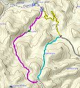
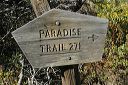
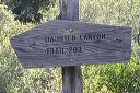
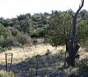
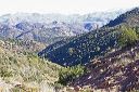
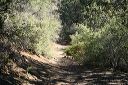
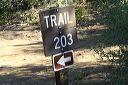
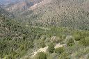
| The Paradise Trail and Haunted Canyon Trails are in the eastern portion of the Superstition Wilderness with trailheads along FR-287A. This is the road to the Miles Trailhead which can be confusing on your first trip since the drive passes through the BHP Pinto Valley Mine. There's a small parking area at both trailheads. You'll need to walk FR-287a for 1.7 miles to complete the loop. It's not a flat road between the trailheads--there are switchbacks.
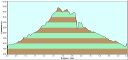
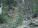
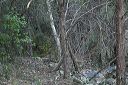
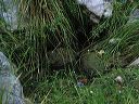
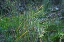
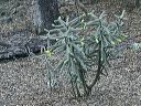
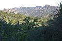
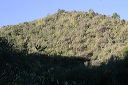
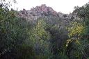
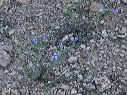
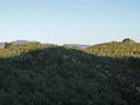
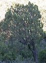
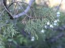
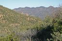
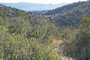
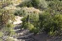
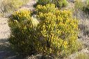
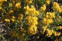
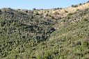
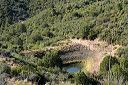
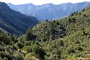
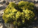
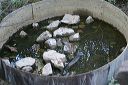
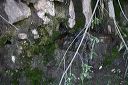
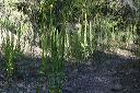
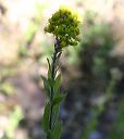
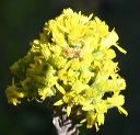
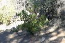
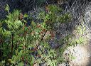
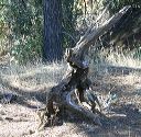
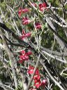
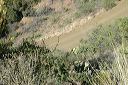
The hike was 6.5 miles and took 4 hours. I parked at the Paradise trailhead which has an elevation of 3480 feet with a high point of 4959 feet. This loop hike uses only a small portion of the Haunted Canyon trail. I hiked south on the Paradise Trail, northeast on the Haunted Canyon Trail, and then northwest on FR-287A to complete the loop. The Paradise trail is noted for it's unusually lush vegetation compared to most of the Superstition Wilderness--thus the name. There are Smoothbark Arizona Cypress, cattails, etc. Only the lower half is lush, the trail climbs into more typical high desert vegetation. |
||||||||||||||||||||||||||||||||||||||||||||||||||||||||||||||||||||||||||||||||||||||||||||||||||||||||||||
 |
 |
|||||||||||||||||||||||||||||||||||||||||||||||||||||||||||||||||||||||||||||||||||||||||||||||||||||||||||
|
Click a thumbnail to see the full size image. Then use the Previous and Next thumbnails to
directly move among the full size images without having to return to this page each time. |
||||||||||||||||||||||||||||||||||||||||||||||||||||||||||||||||||||||||||||||||||||||||||||||||||||||||||||