|
 |
|||||||||||||||||||||||||||||||||||||||||||||||||||||||||
|
||||||||||||||||||||||||||||||||||||||||||||||||||||||||||
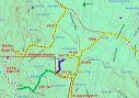
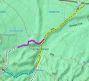
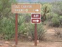
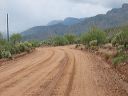
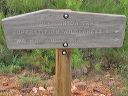
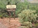
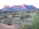
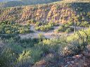
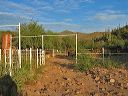
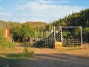
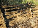
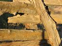
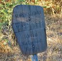
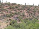
| Tule Trail #122 in the Superstition Wilderness has two starting points. The official trailhead is 1.3 miles from the wilderness but is accessible by passenger cars and horse trailers. Those with 4WD can drive to a corral at the boundary of the Superstition Wilderness at the end of FR-1740. The need for 4WD is due to potentially soft-deep sand on both FR-449A and FR-1740.
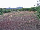
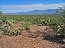
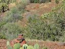
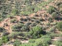
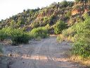
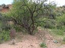
The non-wilderness portion of the hike is boring--relatively flat through grazing land. There are at least three Tule trails in the Superstitions which causes a lot of confusion: |
||||||||||||||||||||||||||||||||||||||||||||||||||||||||||
 |
 |
|||||||||||||||||||||||||||||||||||||||||||||||||||||||||
|
Click a thumbnail to see the full size image. Then use the Previous and Next thumbnails to
directly move among the full size images without having to return to this page each time. |
||||||||||||||||||||||||||||||||||||||||||||||||||||||||||