|
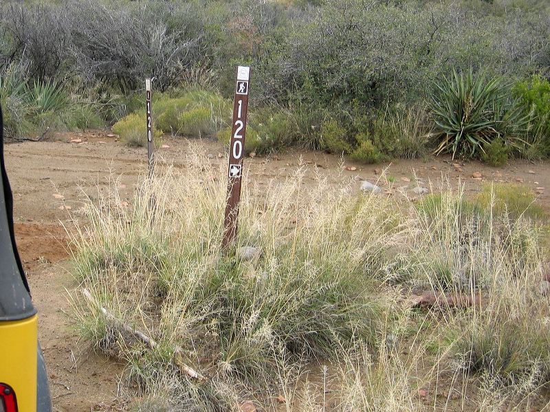
Two Bar Ridge and Cottonwood Creek trailheads:
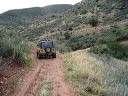
The road to the right is the access road to the southern end of the Cottonwood Creek trail. The Arizona trail uses both the Cottonwood Creek trail and the Two Bar Ridge trail using about a mile of FR-83 to connect them. (Note the hiking shortcut shown in the GPS tracks.) Photos of the Cottonwood Creek trailhead are at the end of this section.
|