35 of 35
Previous
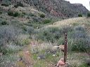
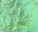
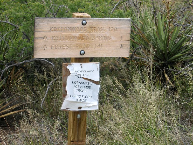
Two Bar Ridge and Cottonwood Creek trailheads:
Sign for the southern end of the Cottonwood Springs Trail #120 This photo was taken in 2004 but the damage (mostly large downed trees) may not have been repaired.
Next
Location:
• Latitude: N 033° 31' 53.46"
• Longitude: W 111° 04' 43.66"
• Altitude: 984.00m
Date:
11/7/04 3:06:14 PM
W x H:
2272 x 1704
Albums:
Cottonwood, web Two Bar Ridge Trailhead