6 of 69
Previous
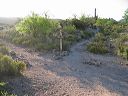
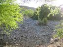
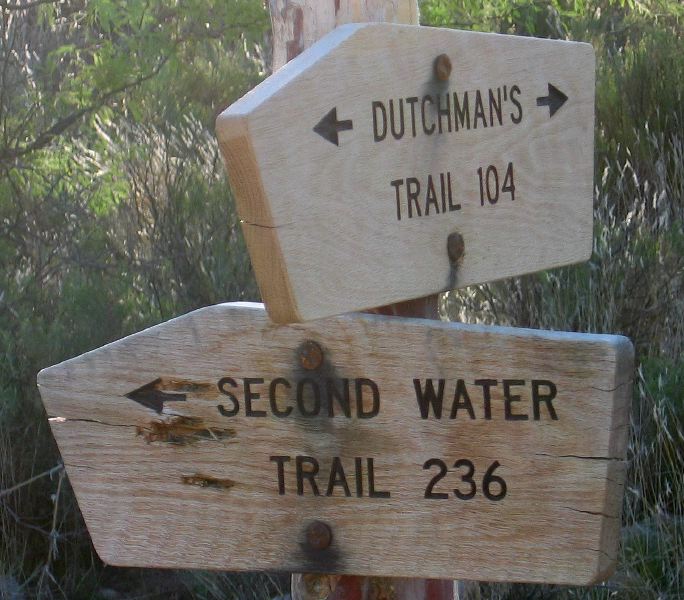
Black Mesa Loop
Dutchman's Trail #104 and Second Water Trail #236.
Next
Location:
• Latitude: N 033° 28' 45.08"
• Longitude: W 111° 26' 07.41"
• Altitude: 681.00m
Date:
4/23/06 7:07:49 AM
W x H:
1287 x 1128
Albums:
web Black Mesa Loop