11 of 69
Previous
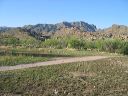
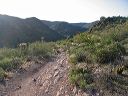
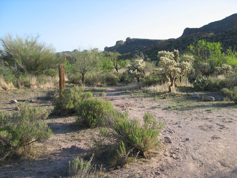
Black Mesa Loop
This post marks a small trail north to: another windmill, a water tank, corrals, and a sun shade. See
First Water Ranch
Next
Location:
• Latitude: N 033° 28' 41.93"
• Longitude: W 111° 25' 59.58"
• Altitude: 696.00m
Date:
4/23/06 7:12:11 AM
W x H:
2272 x 1704
Albums:
web Black Mesa Loop