23 of 69
Previous
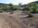
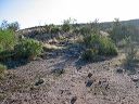
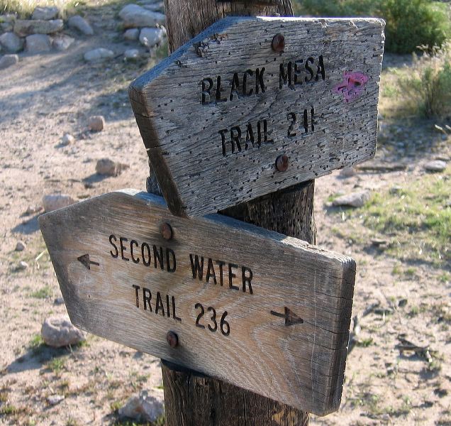
Black Mesa Loop
Junction of Second Water Trail #236 and the start of the Black Mesa Trail #241. Head west (right).
Next
Location:
• Latitude: N 033° 29' 03.06"
• Longitude: W 111° 25' 26.95"
• Altitude: 744.00m
Date:
4/23/06 7:43:54 AM
W x H:
1403 x 1323
Albums:
web Black Mesa Loop