37 of 69
Previous
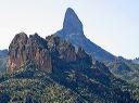
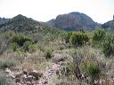
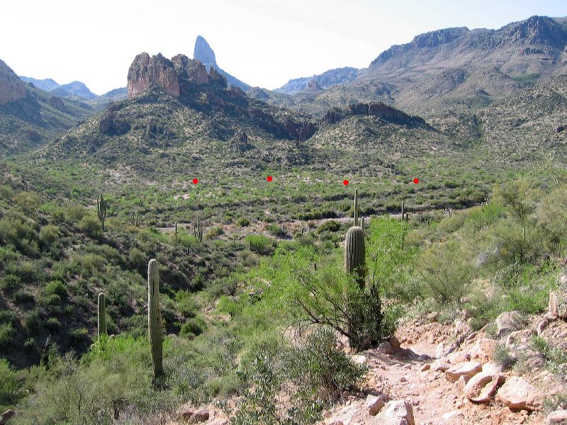
Black Mesa Loop
Looking down at the creek bed. Get your bearings in case you have problems following the Black Mesa trail across the creek. The Dutchman's trail runs north and south approximately through the red dots.
Next
Location:
• Latitude: N 033° 27' 46.56"
• Longitude: W 111° 23' 47.98"
• Altitude: 707.00m
Date:
4/23/06 9:01:02 AM
W x H:
2140 x 1605
Albums:
web Black Mesa Loop