48 of 69
Previous
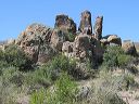
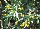
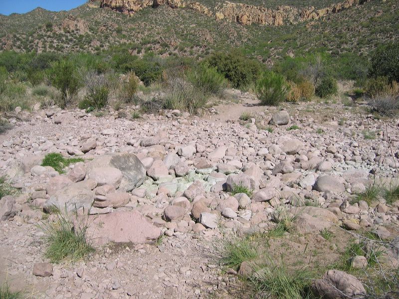
Black Mesa Loop
Headed north across the creekbed. The creekbed can be used to connect the Dutchmans and Black Mesa trails but it's a rougher hike. Shorter in distance but probably takes longer.
Next
Location:
• Latitude: N 033° 27' 28.00"
• Longitude: W 111° 24' 19.76"
• Altitude: 728.00m
Date:
4/23/06 9:33:05 AM
W x H:
2272 x 1704
Albums:
web Black Mesa Loop