39 of 92
Previous
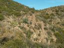
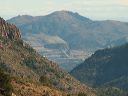
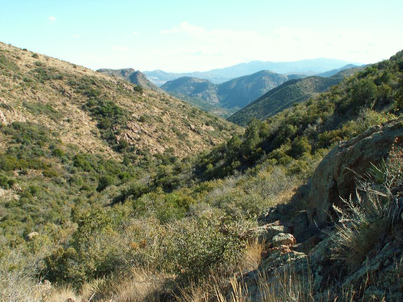
Bull Basin - Paradise loop:
Looking southeast. The BHP mine can be seen in front of the most distant mountains--see next photo. The flat area is probably near the junction with the Haunted Canyon Trail.
Next
Location:
• Latitude: N 033° 24' 14.38"
• Longitude: W 111° 05' 14.33"
• Altitude: 1,531.00m
Date:
12/3/05 11:07:10 AM
W x H:
2560 x 1920
Albums:
Bull Basin - Paradise loop