3 of 15
Previous
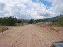
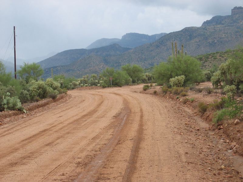
Road to Upper Horrel Trailhead aka Campaign Trailhead
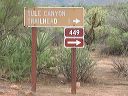
FR-449 turns right--bear to the left which becomes FR-449a
Next
Location:
• Latitude: N 033° 39' 44.75"
• Longitude: W 111° 07' 25.26"
• Altitude: 695.00m
Date:
9/4/04 10:33:54 AM
W x H:
2272 x 1704
Albums:
web Upper Horrell Trailhead