|
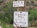
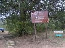
Road to Upper Horrel Trailhead aka Campaign Trailhead
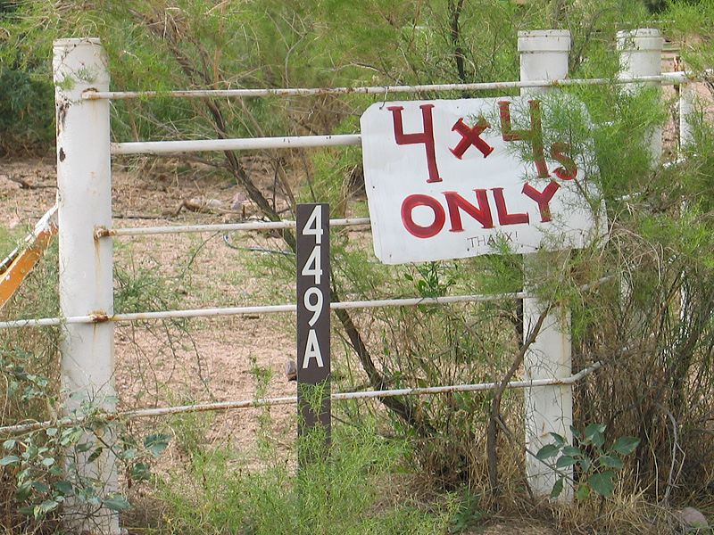
The rancher put up the 4x4 only sign. They got tired of pulling 2WD vehicles out of the soft sand in the wash. Conditions change from one rain to the next and depend on how much traffic has used the road (and packed down the sand) since the last rain.
|