15 of 15
Previous
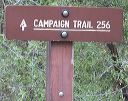
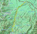
Road to Upper Horrel Trailhead aka Campaign Trailhead
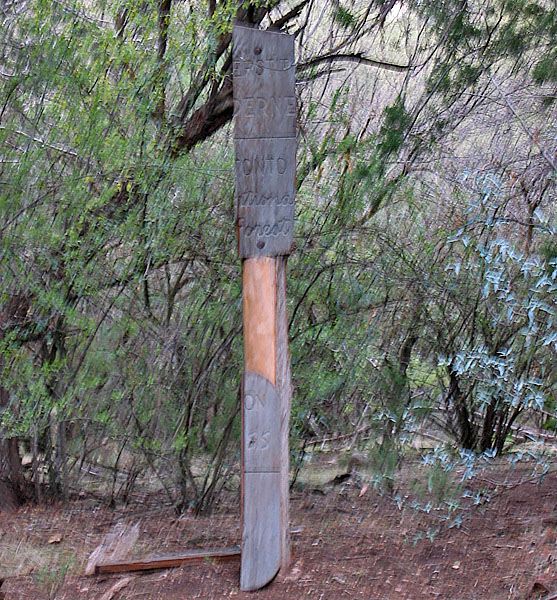
The wilderness sign.
Next
Location:
• Latitude: N 033° 31' 49.37"
• Longitude: W 111° 04' 56.95"
• Altitude: 1,004.00m
Date:
11/6/04 8:07:49 AM
W x H:
557 x 600
Albums:
web Upper Horrell Trailhead