24 of 134
Previous
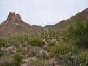
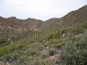
Coffee Flat - Whiskey Springs - Red Tanks trails loop:
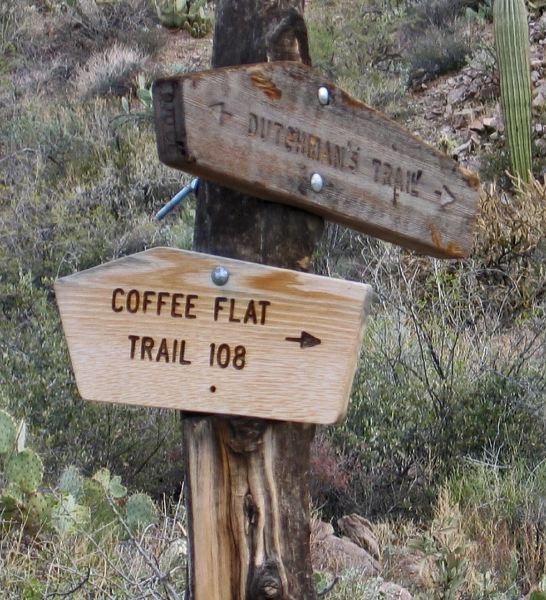
Signs at the Junction of the Coffee Flat and Dutchman's Trail. A segment of the Dutchman's trail is used for the climb to Miner's Summit.
Next
Location:
• Latitude: N 033° 24' 19.40"
• Longitude: W 111° 18' 57.94"
• Altitude: 783.00m
Date:
12/30/03 9:35:38 AM
W x H:
1401 x 1539
Albums:
Miner's Needle loop, Coffee Flat - Whiskey Springs - Red Tanks trails loop