25 of 134
Previous
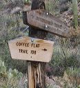
Coffee Flat - Whiskey Springs - Red Tanks trails loop:
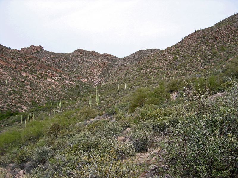
The Dutchman's trail climbs on the right side of this photo, moves across the center, and then up, and to the right.
Next
Location:
• Latitude: N 033° 24' 31.38"
• Longitude: W 111° 18' 56.86"
• Altitude: 853.00m
Date:
12/30/03 9:57:46 AM
W x H:
2272 x 1704
Albums:
Miner's Needle loop, Coffee Flat - Whiskey Springs - Red Tanks trails loop