8 of 134
Previous
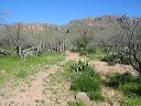
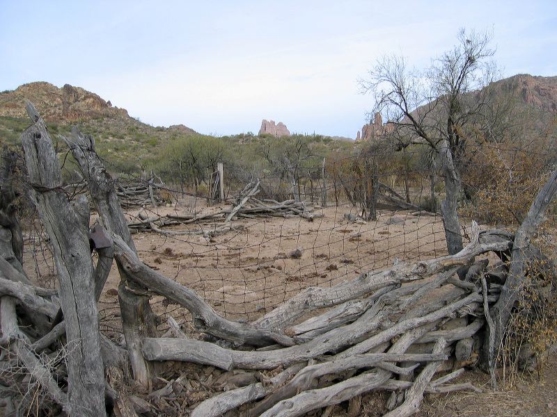
Coffee Flat - Whiskey Springs - Red Tanks trails loop:
Whitlow Corral with Miner's Needle in the distance.
Next
Location:
• Latitude: N 033° 23' 40.24"
• Longitude: W 111° 17' 40.54"
• Altitude: 752.00m
Date:
3/4/06 8:41:04 AM
W x H:
2272 x 1704
Albums:
Coffee Flat - Whiskey Springs - Red Tanks trails loop