33 of 134
Previous
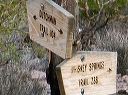
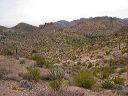
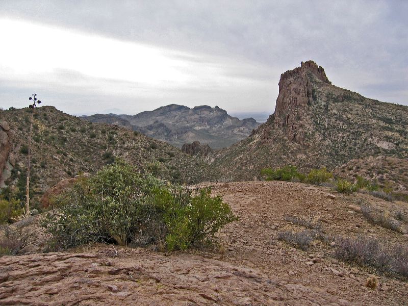
Looking back at Miner's Needle from about 1/4 mile east on the Whiskey Springs Trail
Next
Location:
• Latitude: N 033° 24' 57.10"
• Longitude: W 111° 19' 01.88"
• Altitude: 1,013.00m
Date:
3/4/06 11:08:11 AM
W x H:
2272 x 1704
Albums:
Whiskey Springs Trail, Miner's Needle, Coffee Flat - Whiskey Springs - Red Tanks trails loop