|
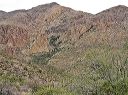
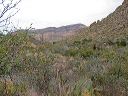
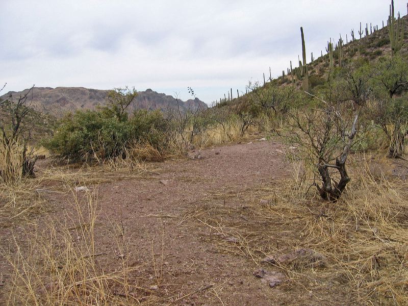
Whiskey Springs Trail: Camping a half hour south of the spring. A possible overflow spot if the sites near the spring are full.
I take photos of any flat clearing that can be used for emergency camping in areas where such spots are rare. The campsites noted on Michael Thorne's GPS tracks are generally more desirable spots.
|