55 of 134
Previous
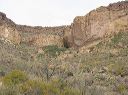
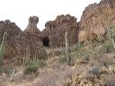
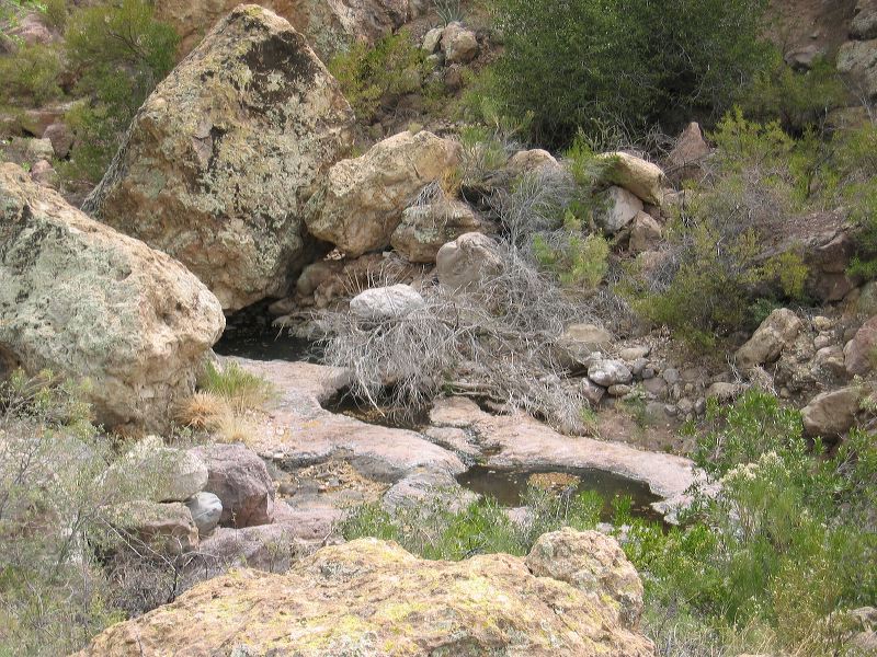
Coffee Flat - Whiskey Springs - Red Tanks trails loop:
Water may be caught after a rain but you can't count on it otherwise.
Next
Location:
• Latitude: N 033° 25' 53.72"
• Longitude: W 111° 18' 09.04"
• Altitude: 887.00m
Date:
3/4/06 12:57:41 PM
W x H:
2272 x 1704
Albums:
Red Tanks Trail, Coffee Flat - Whiskey Springs - Red Tanks trails loop