62 of 134
Previous
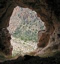
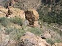
Coffee Flat - Whiskey Springs - Red Tanks trails loop:
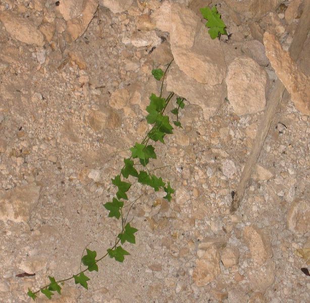
Some sort of Ivy growing in the cave.
Next
Location:
• Latitude: N 033° 25' 56.97"
• Longitude: W 111° 18' 06.42"
• Altitude: 904.26m
Date:
3/4/06 1:35:07 PM
W x H:
1585 x 1548
Albums:
Herman's Cave, Red Tanks Trail, Coffee Flat - Whiskey Springs - Red Tanks trails loop