75 of 134
pict2917
Previous
Coffee Flat - Whiskey Springs - Red Tanks trails loop:
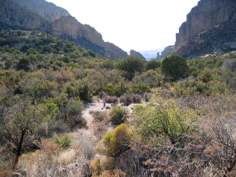
Setting up camp. The rock pillar near Herman's cave can be still be seen. We half-heartedly looked for LaBarge Spring No. 2 but there was too much brush and we didn't see any sign of surface water.
untitled_panorama6
Next
img_1587.jpg
Location: 
 • Latitude: N 033° 26' 09.48"   • Longitude: W 111° 17' 19.22"   • Altitude: 965.30m 
Date: 3/4/06 4:02:35 PM
W x H: 2272 x 1704
Albums: Red Tanks Trail, Coffee Flat - Whiskey Springs - Red Tanks trails loop