132 of 134
Previous
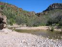
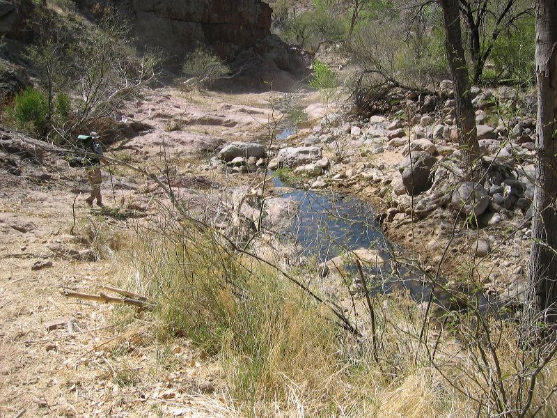
Coffee Flat - Whiskey Springs - Red Tanks trails loop:
We have turned south off the Coffee Flat trail and are headed south in a creekbed that makes the east fork of the Y back to Elephant Butte Road.
Next
Location:
• Latitude: N 033° 23' 17.84"
• Longitude: W 111° 17' 05.85"
• Altitude: 745.00m
Date:
3/5/06 12:36:56 PM
W x H:
2272 x 1704
Albums:
Coffee Flat - Whiskey Springs - Red Tanks trails loop, Coffee Flat