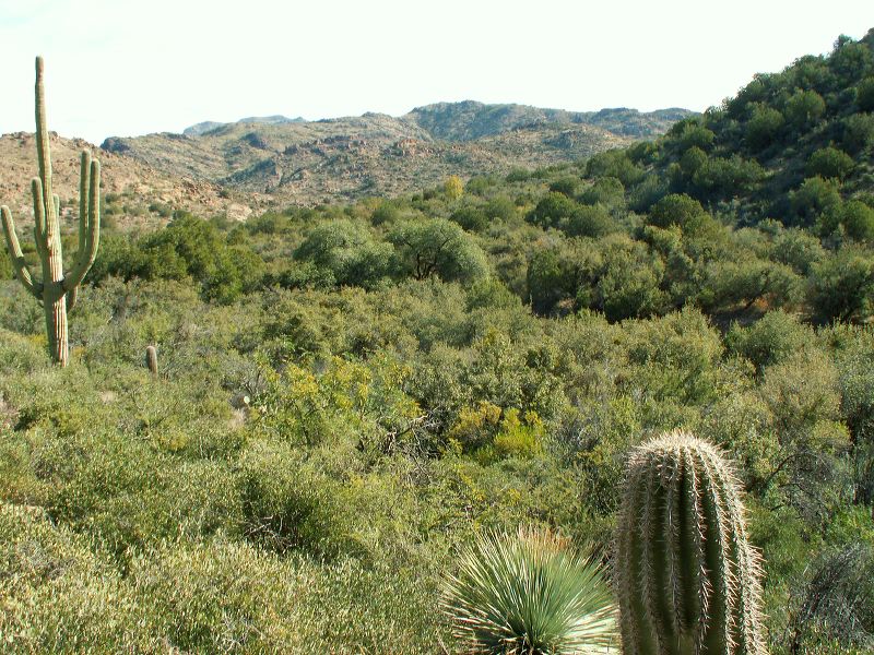
Red Tanks Trail: Approaching the junction of the Red Tanks and Peters trails. It's obvious from the lush growth that there's water but we didn't see any.
Next
Location:
• Latitude: N 033° 26' 06.62"
• Longitude: W 111° 17' 36.37"
• Altitude: 972.00m
Date:
11/26/05 10:53:54 AM
W x H:
2560 x 1920
Albums:
z Peters - Hoolie Bacon, z Red Tanks Trail, Coffee Flat - Whiskey Springs - Red Tanks trails loop