72 of 134
Previous
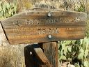
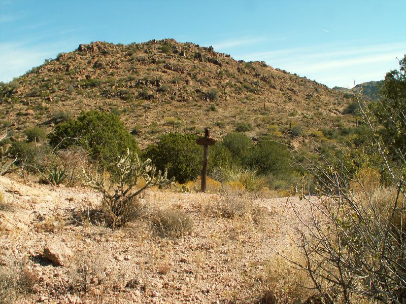
Coffee Flat - Whiskey Springs - Red Tanks trails loop:
The sign for the Hoolie Bacon trail heading off to the north.
Next
Location:
• Latitude: N 033° 26' 11.80"
• Longitude: W 111° 17' 26.40"
• Altitude: 969.00m
Date:
11/26/05 11:04:05 AM
W x H:
2560 x 1920
Albums:
z Peters - Hoolie Bacon, Coffee Flat - Whiskey Springs - Red Tanks trails loop