|
 |
 |
|
|
|
 |
|
 |
|
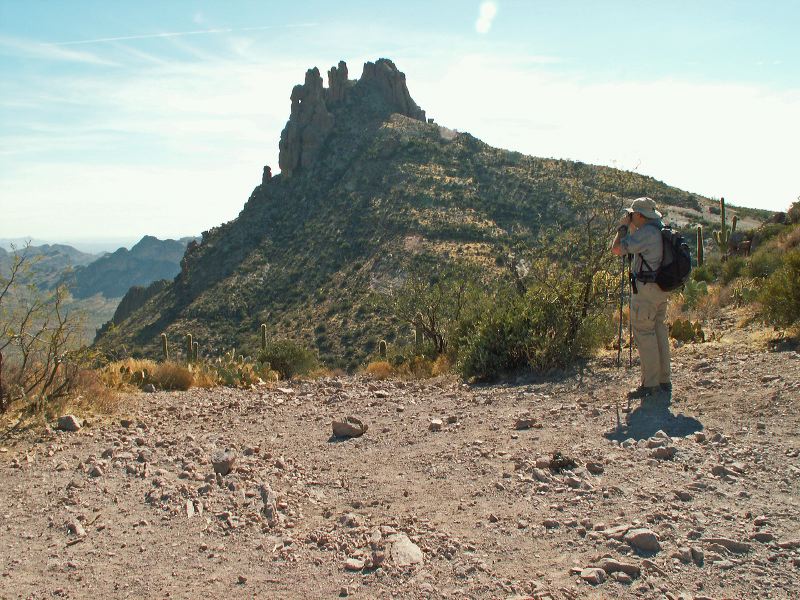
| Location: |
| • Latitude: N 033° 24' 51.30" |
• Longitude: W 111° 19' 17.68" |
• Altitude: 984.00m |
|
| Date: |
1/28/06 2:01:36 PM |
| W x H: |
2560 x 1920 |
| Albums: |
Bluff Spring Peak, Miner's Needle, Whiskey Springs Trail, Coffee Flat - Whiskey Springs - Red Tanks trails loop |
|
|
|
|