26 of 134
Previous
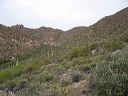
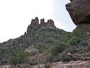
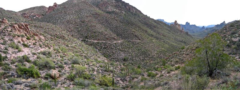
Coffee Flat - Whiskey Springs - Red Tanks trails loop:
Looking back down the Dutchman's trail
Next
Location:
• Latitude: N 033° 24' 45.90"
• Longitude: W 111° 19' 18.49"
• Altitude: 929.00m
Date:
12/30/03 10:17:52 AM
W x H:
4261 x 1610
Albums:
Miner's Needle loop, Coffee Flat - Whiskey Springs - Red Tanks trails loop