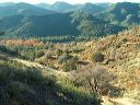
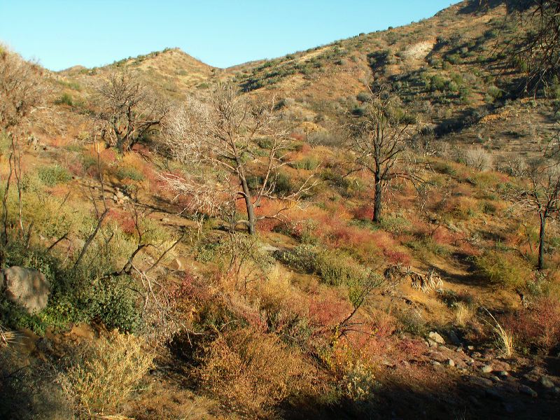
Cuff Button--best hike This area burned several years ago. The route goes through the saddle at center. Some topo maps show the trail going through the saddle at left but I couldn't find any signs of it at either end.
Next
Location:
• Latitude: N 033° 26' 37.29"
• Longitude: W 111° 04' 15.62"
• Altitude: 1,122.00m
Date:
11/4/06 8:01:21 AM
W x H:
2560 x 1920
Albums:
Cuff Button Miles to Burro Spring, Cuff Button best