27 of 56
Previous
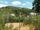
Road to Cuff Button trailhead:
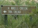
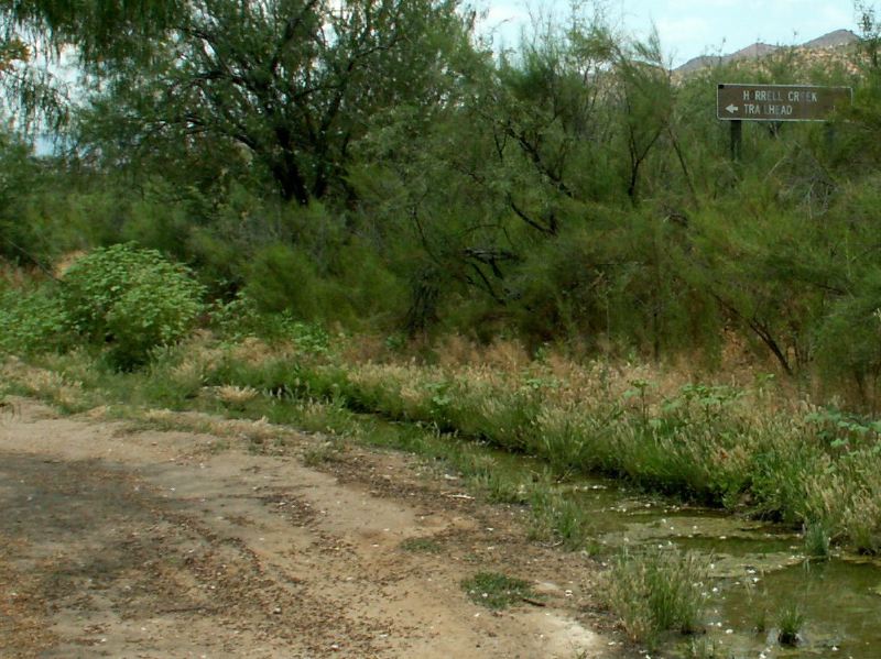
Just past the ranch buildings, there is an irrigation ditch and a sign pointing to the Horrell Creek trailhead.
Next
Location:
• Latitude: N 033° 27' 54.69"
• Longitude: W 111° 00' 01.09"
• Altitude: 888.00m
Date:
5/24/05 10:54:05 PM
W x H:
1202 x 901
Albums:
Cuff Button explore, Cuff Button-road to