|
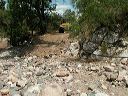
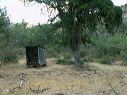
Road to Cuff Button trailhead:
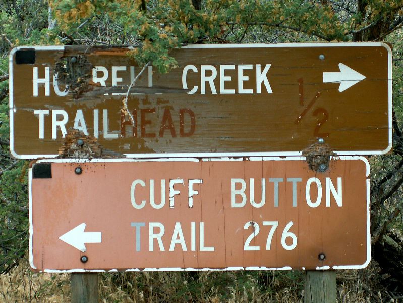
The Cuff Button trailhead is unmarked other than this sign and is several hundred feet along a road to the left (southwest).
The eastern end of the decomissoned Pinto Peak trail #213 is about 2 miles north. The Beartooth map of the Superstitions shows the road going north to Cedar Springs near Gunsight gap. I've only been as far as Musk Hog Spring.
|