6 of 77
Previous
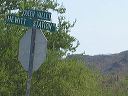
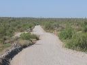
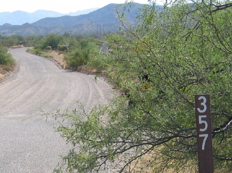
Roads to Woodbury and Rogers Trough trailheads:
Looking east on FR 357. Note the end of the pavement and the abandonded railroad tracks at right.
Next
Location:
• Latitude: N 033° 19' 13.12"
• Longitude: W 111° 14' 22.94"
• Altitude: 681.00m
Date:
7/17/05 8:44:11 AM
W x H:
942 x 706
Albums:
Queen Valley Explore, FR-172 to Woodbury and Rogers Trough