76 of 77
Previous
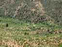
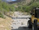
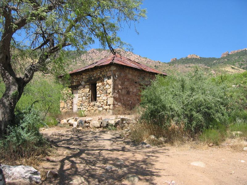
FR-650 from Rogers Trailhead:
Old stone cabin.
Next
Location:
• Latitude: N 033° 22' 44.93"
• Longitude: W 111° 06' 50.50"
• Altitude: 1,066.00m
Date:
5/30/05 2:05:36 PM
W x H:
2272 x 1704
Albums:
Happy Camp Road, FR-650, FR-172 to Woodbury and Rogers Trough