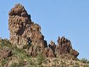
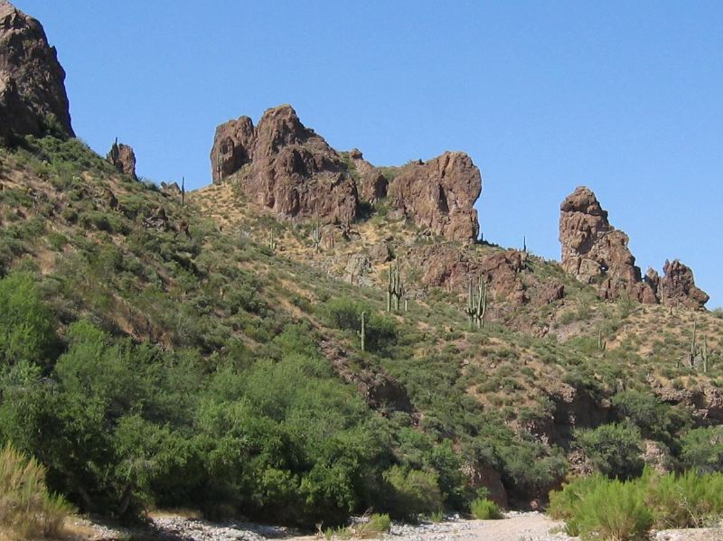
Roads to Woodbury and Rogers Trough trailheads: Looking south. Note the rock near the right edge that looks like a face and has a small hole through it. (Closeup in next photo.)
Next
Location:
• Latitude: N 033° 19' 13.12"
• Longitude: W 111° 14' 22.94"
• Altitude: 681.00m
Date:
7/17/05 9:20:36 AM
W x H:
1202 x 901
Albums:
Queen Valley Explore, rock a Likes, FR-172 to Woodbury and Rogers Trough