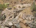
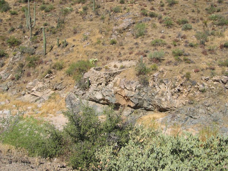
Roads to Woodbury and Rogers Trough trailheads: This stonework looks like it was built to retain water--but it doesn't seem big enough to be worth the effort.
Next
Location:
• Latitude: N 033° 19' 13.12"
• Longitude: W 111° 14' 22.94"
• Altitude: 681.00m
Date:
7/17/05 9:49:38 AM
W x H:
2272 x 1704
Albums:
Queen Valley Explore, FR-172 to Woodbury and Rogers Trough