24 of 37
Previous
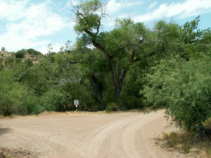
As you leave the mine on FR-287, you'll come to this "Y" intersection. The sign says "Peak Well 26-29"
Next
Location:
• Latitude: N 033° 27' 54.69"
• Longitude: W 111° 00' 01.09"
• Altitude: 888.00m
Date:
5/24/05 10:21:42 PM
W x H:
2560 x 1920
Albums:
Road to Haunted Canyon