|
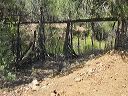
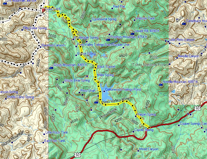
Road to the eastern trailhead for Haunted Canyon:
Moderate clearance may be required to reach the eastern trailhead--the red "P" at upper left. It takes about 20 minutes to get there from the junction of FR 287 and US 60. (There's a later map in this photo set for the western trailhead.)
The yellow is Pinto Valley Mine road / FR-287. The junction of US 60 and Pinto Valley Mine road is 12.4 miles east of Superior. (Distance measured from SR 177 in Superior.)
|