18 of 29
Previous
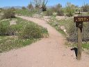
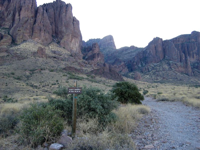
Jacobs Crosscut trail:
Crossing the Siphon Draw trail. An unofficial extension of the Siphon Draw trail provides access to the top of Flatiron.
Next
Location:
• Latitude: N 033° 26' 53.90"
• Longitude: W 111° 28' 19.61"
• Altitude: 696.00m
Date:
12/17/05 8:34:21 AM
W x H:
2272 x 1704
Albums:
Siphon Draw alternate, Crosscut Trail