6 of 220
Previous
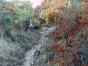
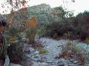
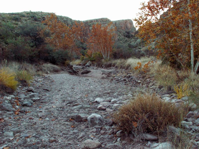
Peters - Hoolie Bacon loop: Some of the early trail follows the creek bed. A map and/or GPS will help prevent you from taking the wrong branch of Tortilla Creek or missing the point where the trail leaves the creekbed.
Next
Location:
• Latitude: N 033° 29' 35.19"
• Longitude: W 111° 17' 40.92"
• Altitude: 953.00m
Date:
11/25/05 7:21:59 AM
W x H:
2560 x 1920
Albums:
Peters - Hoolie Bacon