92 of 220
Previous
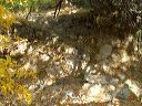
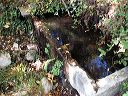
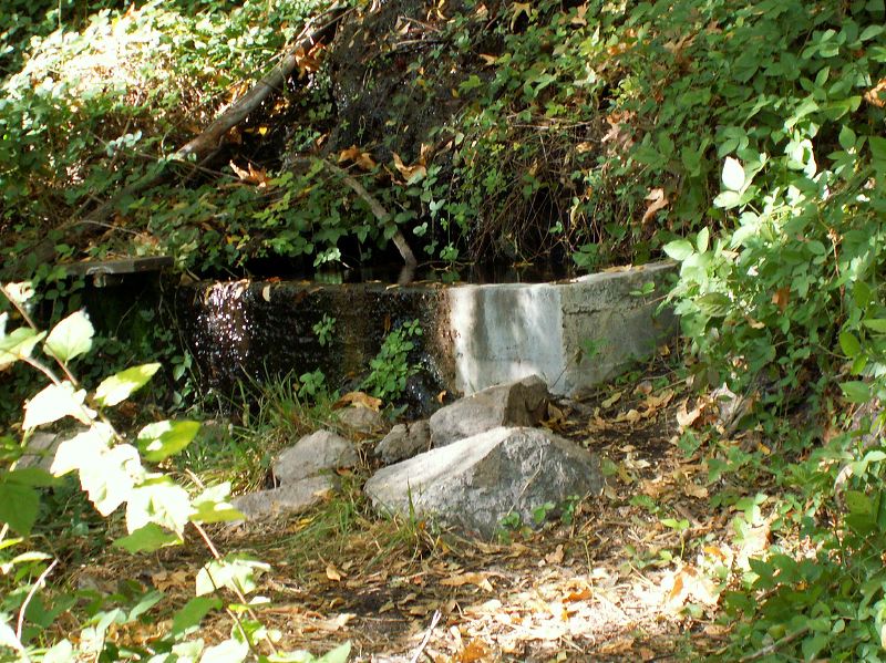
Peters - Hoolie Bacon loop: Red Tanks Trail: La Barge Spring It's exactly where the MapSource topo in my GPS says it is. N33.44566 W111.33397
Next
Location:
• Latitude: N 033° 26' 44.09"
• Longitude: W 111° 20' 02.98"
• Altitude: 790.00m
Date:
11/25/05 2:34:01 PM
W x H:
1963 x 1472
Albums:
Peters - Hoolie Bacon, Red Tanks Trail