99 of 220
Previous
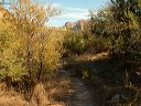
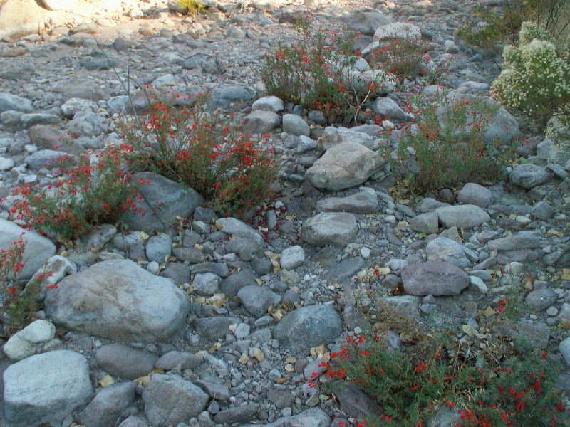
Peters - Hoolie Bacon loop: Red Tanks Trail: Probably Hummingbird Trumpet
Next
Location:
• Latitude: N 033° 26' 20.22"
• Longitude: W 111° 19' 33.70"
• Altitude: 806.00m
Date:
11/25/05 3:22:06 PM
W x H:
2560 x 1920
Albums:
Peters - Hoolie Bacon, Hummingbird Trumpet ?, Red Tanks Trail