105 of 220
Previous
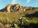
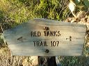
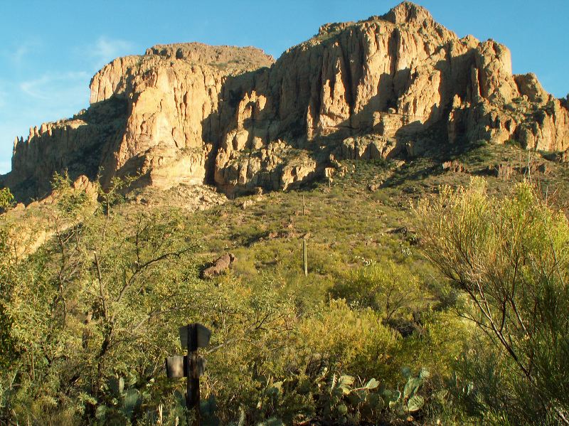
Peters - Hoolie Bacon loop: Red Tanks Trail: Junction of Red Tanks trail #107 and Whiskey Springs trail #238
Next
Location:
• Latitude: N 033° 25' 48.86"
• Longitude: W 111° 18' 36.70"
• Altitude: 847.00m
Date:
11/25/05 3:59:32 PM
W x H:
2291 x 1718
Albums:
Peters - Hoolie Bacon, Red Tanks Trail