115 of 220
Previous
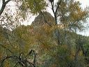
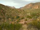
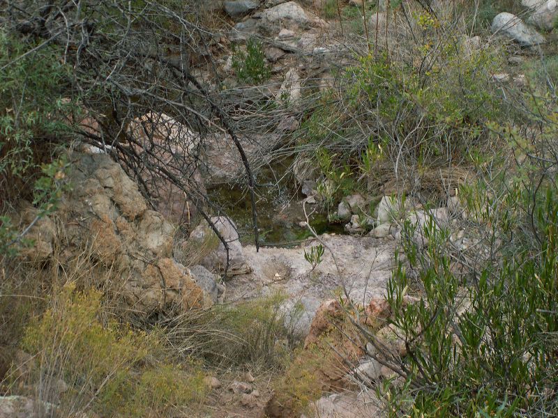
Peters - Hoolie Bacon loop: There is clearer flowing water downstream about 50 feet from the concrete tank. It was easily visible from the trail.
Next
Location:
• Latitude: N 033° 25' 20.97"
• Longitude: W 111° 18' 31.75"
• Altitude: 894.00m
Date:
11/26/05 8:53:13 AM
W x H:
2560 x 1920
Albums:
Peters - Hoolie Bacon, Red Tanks Trail, Whiskey Spring