|
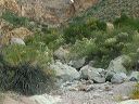
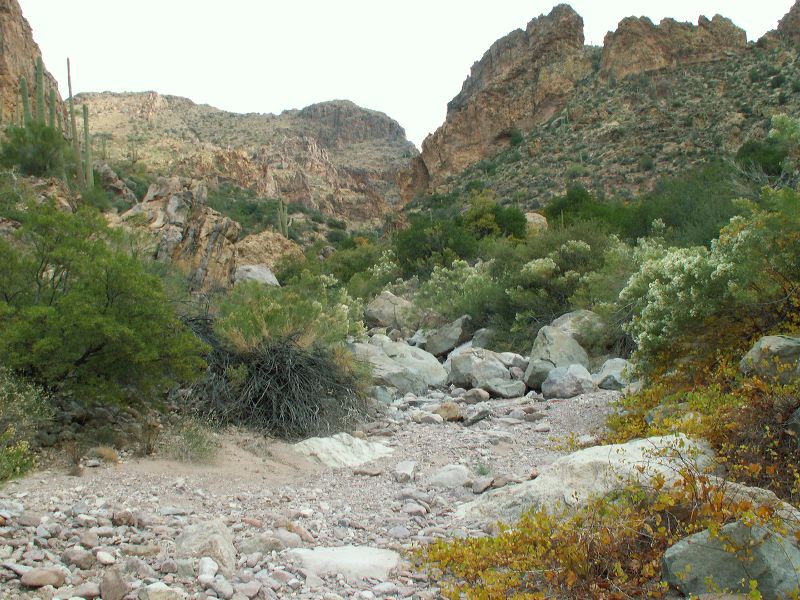
Peters - Hoolie Bacon loop: Red Tanks Trail: I missed the trail at this point by first following a false trail under a tree growing horizontally 5 feet off the ground and then misreading the carins. (I headed up the creekbed for a short distance over the large boulders before turning around.)
|