133 of 220
Previous
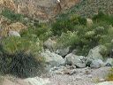
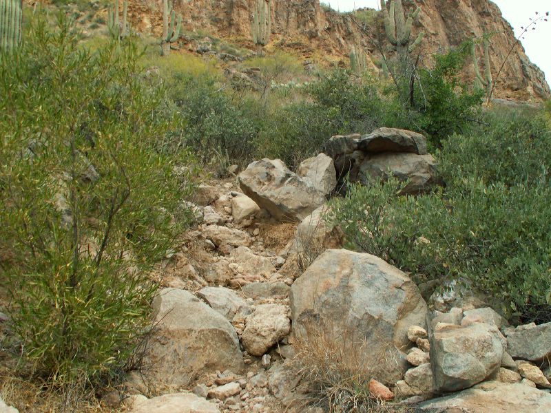
Peters - Hoolie Bacon loop: Red Tanks Trail: The path to the left of the boulders in the prior photo.
Next
Location:
• Latitude: N 033° 25' 55.58"
• Longitude: W 111° 18' 08.19"
• Altitude: 881.00m
Date:
11/26/05 10:15:29 AM
W x H:
2560 x 1920
Albums:
Peters - Hoolie Bacon, Red Tanks Trail